Using Fish Tags to Inform Habitat Restoration in the Huron-Erie Corridor
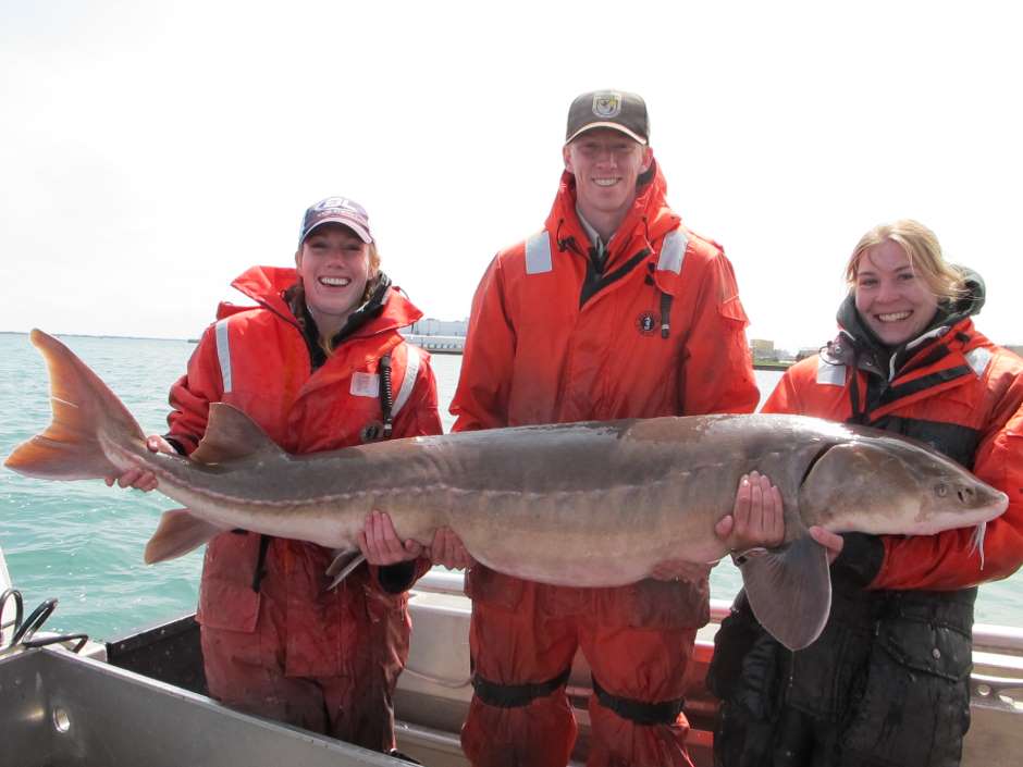
 Fish biologists from the USFWS Alpena FWCO, USGS Great Lakes Science Center, and University of Windsor, holding a lake sturgeon captured in the Detroit River. (Justin Chiotti/USFWS via Flickr CC BY-NC-ND 2.0
Researchers and resource departments utilize fish tags as a means of improving current fish and habitat management strategies. Depending on the type of tag used, tagging initiatives can reveal a great deal about fish behavior, population decline, and species movement over time.
Satellite tags provide continuous data as long as the fish remains in the range of receivers, helping to identify behaviors and document fish movement. Cheaper plastic tags can also be used to support fish movement observations, though not consistently or remotely, as the plastic tags require the fish to be caught.
Guiding Habitat Restoration in the Huron-Erie Corridor
Tagging initiatives are used frequently to inform various management techniques like fish stocking, habitat restoration, and fishing regulations. Such projects are particularly impactful in lakes that undergo a lot of strain due to dredging, overfishing, urban/agricultural runoff, and other environmental stressors.
While the Huron-Erie corridor is a regular spawning site for many fish species in the Great Lakes, it has also been impacted by dredging conducted to increase shipping navigability through the corridor. Consisting of the St. Clair River, Lake St. Clair and the Detroit River, the corridor has changed drastically over the years due to the reformation of the land.
One of the most concerning changes that the corridor has undergone recently is the impact of dredging on the vital habitat of native species. The dredging efforts removed desirable spawning substrate from the channel bottom and modified its shorelines.
In order to help protect, maintain, and restore these ecosystems, the Great Lakes Fishery Trust has supported various restoration and research initiatives over the years. Restoration efforts have targeted the Huron-Erie Corridor extensively since 2010, said Darryl Hondorp, a research fishery biologist with the U.S. Geological Survey.
Beyond the destruction of the lake bed due to dredging, Hondorp reports that there has been a considerable amount of shoreline hardening, where natural shorelines have been replaced by wood or steel. This change has impeded access to and destroyed some wetland habitats.
“There’s also been a considerable amount of shoreline hardening, where natural shorelines have been replaced by wood or steel,” Hondorp said. “That’s removed quite a bit of access and completely destroyed some wetland habitat.”
Lacking wetlands to filter its waters and with fewer hydrological inputs and outputs, the corridor suffered further from already burdensome waste discharge. Populations of fish and other wildlife in the corridor have diminished, and many of those that remain are unfit for human consumption.

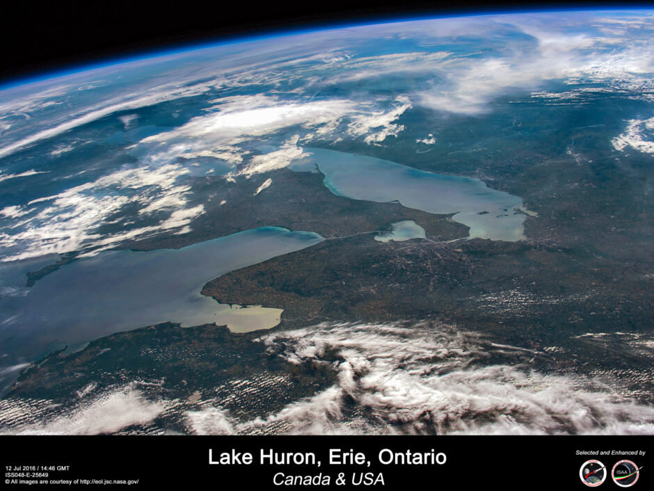
Lake Huron, Erie, Ontario – Canada & USA (Credit: Riccardo Rossi via Flickr CC BY-NC-SA 2.0)
Using Sturgeon to Inform Huron-Erie Corridor Habitat Restoration
Hondorp, along with Edward Roseman and Bruce Manny of the USGS, conducted a study that tracked lake sturgeon throughout the corridor. Hondorp explained that lake sturgeon have drawn particular attention among the corridor’s impacted species for several reasons.
“They’re a native species, number one, and there’s a large emphasis placed on restoring populations and habitats for native species,” said Hondorp. “They’re the largest and longest-lived native species in the Great Lakes, so they’ve become the poster child for restoration efforts.”
Lake sturgeon are highly migratory, meaning the corridor is an important entry and exit point for them during spawning. However, the fish spend the majority of their life in the lake, making it difficult to address issues that the species faces in relation to the Huron-Erie corridor. There was also a question of how the sturgeon migrated, whether it be as one population or in smaller groups.
Tagging the migrating sturgeon can help reveal previously unknown or theorized fish behavior. Informed resource management includes knowing where, when and how to restore the habitat in order to meet the needs of resident species.
In the case of this study, acoustic tags were used to track sturgeon movement throughout the corridor. Their hypothesis, Hondorp explained, stated that if multiple spawning groups existed, then the transmitters would reveal multiple movement patterns between the lakes and rivers in the region.
Before the landscape was reshaped by developments, the corridor possessed a unique hydrology that suited it perfectly to spawning. The corridor receives cold, clean and well-oxygenated water from Lake Huron and floods and droughts, capable of wreaking havoc on fish habitats, are rare.
Conclusion
The study began in 2012 and was originally set to continue through 2016. In 2014, Hondorp believed there would be more work to be done. He was hopeful and confident that the team would attain the resources necessary to continue.
“I anticipate the results are going to garner enough interest that we should be able to get a 5-year extension,” Hondorp said.
As of the original publication of this article in 2014, Hondorp said that the sturgeon appeared to maintain two distinct spawning populations: one from the Detroit River and one from the St. Clair River. Their research has also found that Lake St. Clair is an important winter feeding ground for lake sturgeon and other fish.
“We expect that, number one, this is going to inform the choice of habitat that fishery managers will restore,” Hondorp said. “Now that we have a sense of what the population structure looks like, we can begin to put spawning reefs in the rivers and at the sites of the particular population that we want to restore.”


Pingback: FishSens Magazine | The Importance of Data-Informed Fishery Management - FishSens Magazine