Satellite Tags And Great Lakes Research
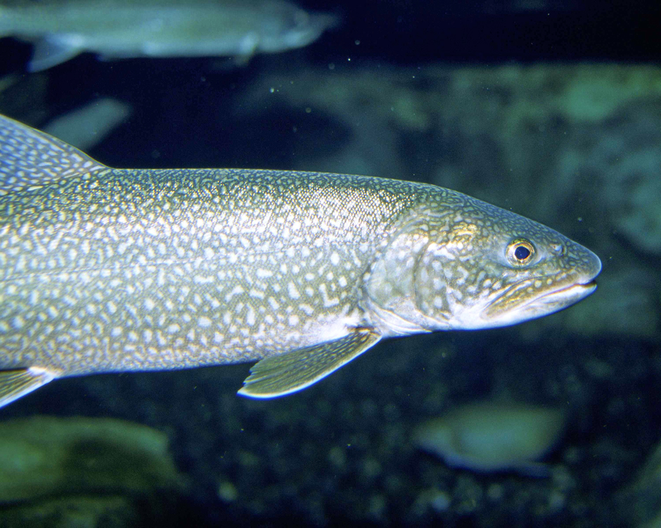
 Lake trout (Credit: Eric Engbretson/U.S. Fish and Wildlife Service)
With species declining and scientists still on the constant search to understand aquatic life and habitats, satellite tags allow research and conservation to be at the forefront of fish tracking. Salmon were some of the first fish in the Great Lakes to receive satellite tags as salmon populations appeared to be in decline, according to Sea Grant. Alternatively, many types of trout densely populate the Great Lakes and trout are easy victims of large invasive species, making tracking more critical. Additionally, satellite tracking is a good indicator of where large groups of fish may be—information that every recreational angler would want to know.
Lake Sturgeon Make The Cut
In 2017, sturgeon were added to the list of Great Lakes fish to receive satellite tags, according to the Great Lakes Echo. The types of tags used on salmon were a bit different than the style used for trout and salmon. The up to 200-pound fish received something called a pop-off satellite tag. The tags are attached to a durable string that is inserted into the fish’s back. After application, the tag will gently float a few inches above the salmon due to a swivel at the end of the line.
Eventually, the tag will fall off the fish, and scientists are alerted of the floating tag’s location. While wearing the tag, scientists can observe fish behaviors and track underwater activities. In ocean applications, tags have helped with mapping patterns and habitat information.
The large size of sturgeon makes them a good candidate for pop-off satellites. The same style of tagging has been used on larger ocean life before being implemented in the Great Lakes. Smaller fish like salmon and trout in the Great Lakes also use pop-off satellite tags routinely for tracking. While salmon are nowhere near the size of a full-grown sturgeon, they are large enough that the tags can be used without hindering or harming the fish.

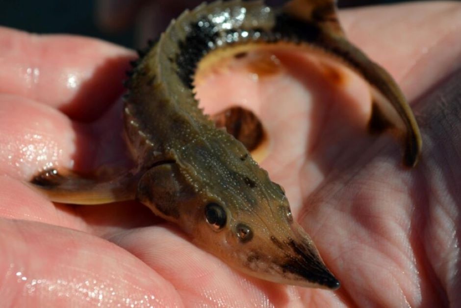
(Credit: Steiger Meister Katie/USFWS, Public Domain)
How Satellite Tags Work
The tags can reveal important information about fish, much more than simple population numbers. The satellite tags send data summaries to satellites, which are then remotely retrieved by scientists for analysis. The data obtained can be important for conservation and helpful knowledge for anglers. Sturgeon were found to be most active between sunset and sunrise.
Nocturnal habits are typically nothing to worry over, but the Great Lakes are also connected to commercial rivers. Sturgeon in the Atlantic are often hit by trade boats in coastal rivers, something that may be avoided in the Great Lakes. Researching and understanding fish behaviors are necessary to appropriately craft conservation solutions.
Trade vessels traversing the St. Lawrence River and St. Clair-Detroit River system may inadvertently be harming lake sturgeon. However, trading ships now know to avoid traveling at night, as doing so can harm aquatic life.
Since their debut in the Great Lakes, satellite tags have continued to be used for research and conservation efforts. Satellite tags have also become more common for non-aquatic life. For example, birds can easily be tracked and monitored using data from the stars. The data provided by satellites has been particularly impactful for migratory birds. At this time, it seems that future conservation is powered by the cloud, a trend likely to continue.


Pingback: FishSens Magazine | How Fish Surgery Leads Research and Saves Pets - FishSens Magazine